A good day. A line of thunderstorms stretching across the horizon in front of me this morning had me worried, but they moved east and dissipated. Weather wouldn’t be an issue until late in the afternoon.
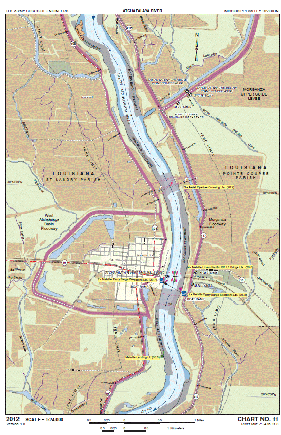
I paddled pass a couple of towns today. Melville and Krotz Springs. Not much to see in Melville. The river front at Krotz Springs, on the other hand, was very busy. Krotz Springs is a crossroads of sorts for the petroleum industry. There are twenty-five petroleum pipelines going under the river in the Krotz Springs area and three going over the river in aerial crossings. Several oil barges were being loaded as I paddled by.
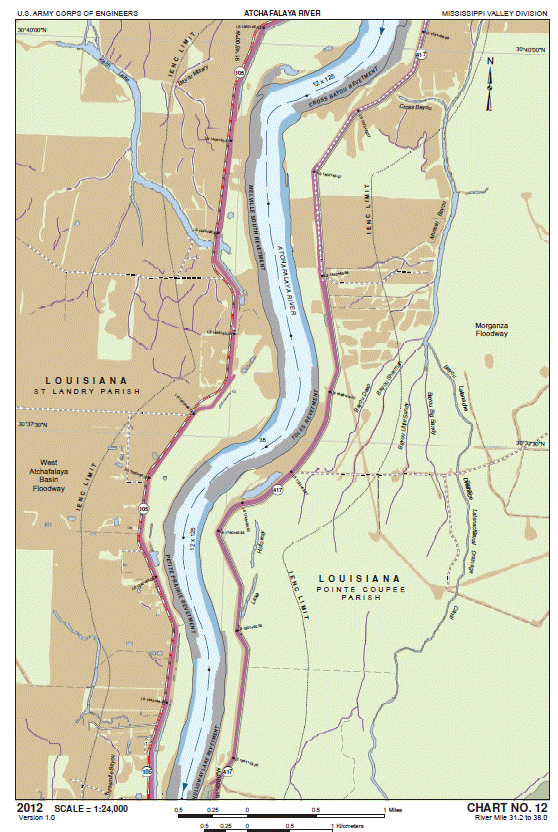
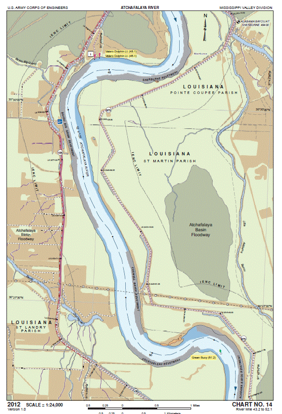
The levees open up below Krotz Springs, making for more batture along the river, and increasing the wild feel of the river. Coincidentally, this is also the beginning of the Atchafalaya National Wildlife Refuge, a giant NWR that sprawls over the east bank of the river for approximately twenty miles downstream. This is where the river derives it nickname, “The River of Trees.” Once I paddled below Krotz Springs, both sides of the river were engulfed in deep bottomland hardwood forests. Trees grow within feet of the river’s edges. Decent camping spots are hard to find as the bank are often sheer, steep, muddy, or all of the above.
And so, when a line of rain clouds developed just to the north of me in late afternoon, finding a camping site became a priority. A conflicting priority. Because I also had to get my goal of paddling twenty-five miles today if I was going to meet Gloria on Saturday in Morgan City.
I kept a watchful eye on those clouds. And watched them develop. But no thunder yet. And they appeared as if they were going to miss me and move off to the east. So I kept paddling.
Then the rumble of thunder behind me. Soft at first. Then louder and closer by the minute. As you can imagine, I had learned my lesson about being in a canoe during a thunderstorm, and started scanning the shore for shelter or a place to camp. I had just reached my 25-mile goal, and though I would have liked to have paddled for a few more miles, I wasn’t going to press my luck.
I spotted a small bit of sandy-mud (or muddy-sand) just ahead on the left bank, so paddled hard for that. Arrived just as the first drops of rain began to fall. I tied off the canoe to a tree, and then watched the light rain pass over from beneath the relatively decent shelter of a large willow tree’s overhanging branch. A freshening wind from the north convinced me to end my day’s paddle here. So I set up camp, and relaxed a bit before preparing dinner. Aside from the green channel buoy across the river, there was no sight nor sound of human being. Wild dense forest was just a few feet behind me and I wondered if I would be visited tonight by bear, alligator, or both.
And with that thought, I dug out my bear spray, kicked off my muddy boots, killed a couple dozen feasting mosquitoes, and crawled inside my tent for a very restful night’s sleep.
N.B. Aside from the Old River Lock and a spooky section of the Lock’s Navigation Canal, there really hasn’t been much of interest to photograph. I mean, if I had a large-format camera to capture the expansiveness of the woods and water, maybe. But the scenes are just too large for a 35mm camera to do them justice.


Leave a comment