Taking a day of rest today. Not paddling. Just catching up on blogging and cleaning/repairing equipment.
This has proved to be a very nice campsite. I didn’t get a lot of sleep last night because of all barges going by (They’re noisy!) But it’s been a quiet, peaceful day and don’t feel tired or spent at all.
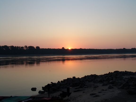
Being on the west bank of the river, when the sun came up it hit me square in the eyes. So I made coffee, and moved my chair and camp table back into the willows behind my tent to update my blog entries. When the sun was sufficiently high for the willows to shade over my campsite, I moved out of the shallow woods and back to my camp. And, boy, was I glad I did! Because at that moment two sports fishermen (in really nice bass boats) were cruising by. They spotted my camp, pulled over, and we chatted a bit. But before they left, they tossed over two pint bottles of ice water!! So with apologies to Seinfeld, all I can say is, “People. They’re the best!”
In another day or two I’ll be entering the section of the Lower Mississippi from near Clarksville down to Vicksburg known locally by big river paddlers as the Muddy Waters Wilderness. Not that its officially designated as such, but its definitely muddy and its definitely wild — and its the homeland of blues great Muddy Waters.
Anyway, this is the hardest-to-get-to section of river with the most remote islands and wildest stretches of woods below the Mississippi River Headwaters in the State of Minnesota. There is only one bridge in 200 miles of river. There are several big tributary rivers that add to the feeling of wildness, the White and the Arkansas, each of which encompass hundreds of thousands of acres of protected bottom land hardwood forest. It’s the largest roadless area in the mid-south. There are more bears than humans. There are no through roads. The roads and the levees all dead end in this area. Throughout the entire two-hundred-mile length there is little evidence of civilization. I’ve read that the paddler enjoys wild open places, deep forests, rich wildlife, and spectacular camping throughout. Guess I’m going to find out.
P. S. Not sure what the cell reception will be like in this next section of the river. So, if you don’t hear from me for a few days, don’t worry. I should be in Greenville in 5 or 6 days and in good cell coverage then.

Leave a comment